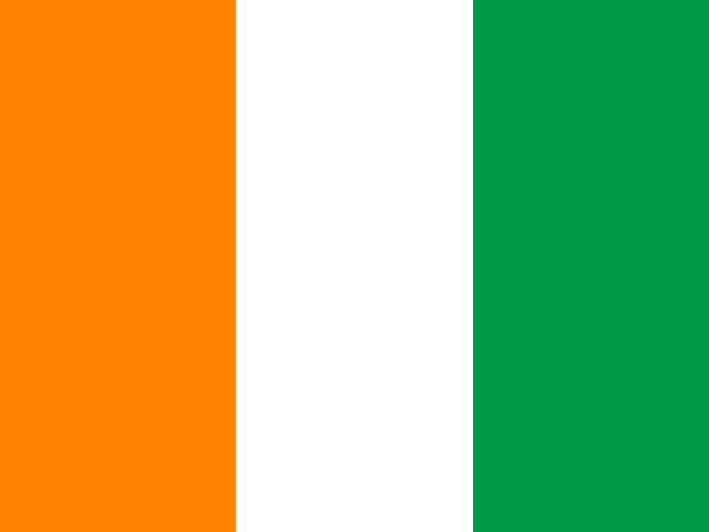
Côte d’Ivoire
Africa · Western Africa
Key facts
- Capital
- Yamoussoukro
- Region
- Africa
- Subregion
- Western Africa
- Population (2025)
- 32.7 million (32,711,547) · rank 50 of 193
- Area (2023)
- 322,460 km² · rank 68 of 193
- People per km²
- 101 (calculated from the two figures above)
Source: World Bank, World Development Indicators (2025, 2023), CC BY 4.0. data.worldbank.org
Test yourself
The first question is always Côte d’Ivoire, then four more countries of the same region.
Unfolding the map…
Neighbours on the map
Countries whose outline shares a border with Côte d’Ivoire in the map data: 5.
- Burkina Faso capitals 740 km apart
- Ghana capitals 580 km apart
- Guinea capitals 980 km apart
- Liberia capitals 610 km apart
- Mali capitals 710 km apart
Based on the Natural Earth 1:110m outlines. The 29 states drawn as dots are not counted as neighbours.
The flag
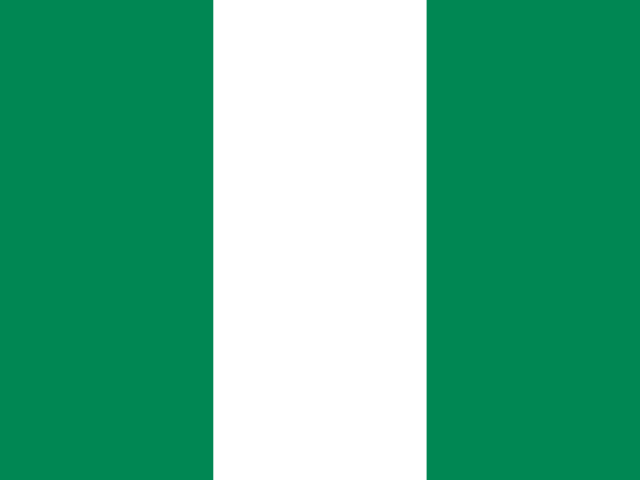
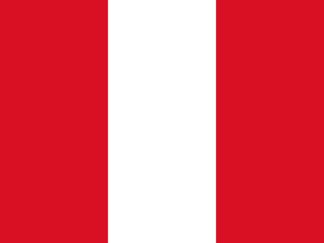
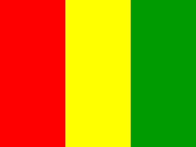
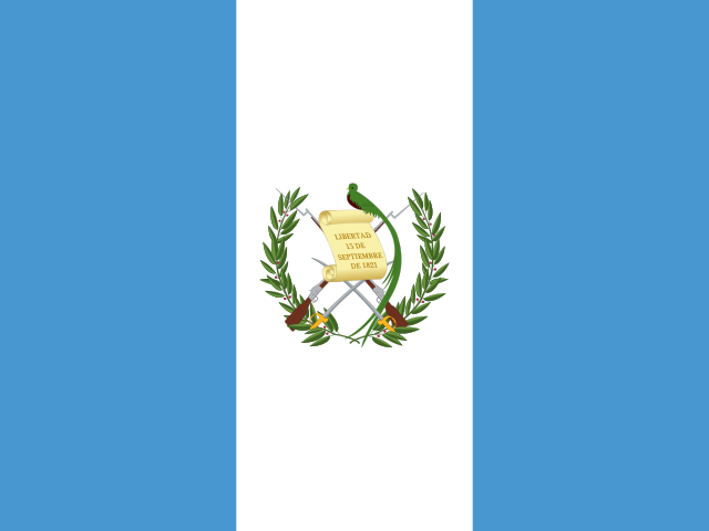
Flags with a similar colour layout, used as wrong options on Hard: Nigeria, Peru, Guinea, Guatemala.
In the quizzes
The levels on which Côte d’Ivoire is asked in each selection:
In four languages
| Country | Capital | |
|---|---|---|
| English | Côte d’Ivoire | Yamoussoukro |
| Italiano | Costa d’Avorio | Yamoussoukro |
| Magyar | Elefántcsontpart | Yamoussoukro |
| Suomi | Norsunluurannikko | Yamoussoukro |