
Oceania
Australia, New Zealand and the Pacific island states, on a map centred on the Pacific so the islands on both sides of the date line stay together. Number of countries: 14.
Quizzes for this region
Countries of Oceania on the map
A country is named; put your finger on it. A miss shows how far off you were.
Name the countries of Oceania
One country is shaded on the map. Which of the four names is it?
Capitals of Oceania
Match each country with its capital city, one way round or the other, four choices per question.
Flags of Oceania
Name the country of a flag, or pick the right flag of four.
Oceania on the scales
Put two countries on the scales: more people, or more land?
Name all 14 countries of Oceania
Type a region’s countries from memory and watch the map fill in.
The selection in numbers
- Countries
- 14
- Largest by area
- Australia · 7,741,220 km²
- Smallest by area
- Nauru · 21 km²
- Most people
- Australia · 27.6 million
- Fewest people
- Tuvalu · 9,492
- People in total
- 46.5 million
- Area in total
- 8,536,913 km²
- Drawn as a dot
- Samoa, Kiribati, Tonga, Micronesia, Palau, Marshall Islands, Tuvalu, Nauru
World Bank figures: population of 2025, area of 2023.
Countries in this selection
Sorted by area, largest first. Each name leads to the country’s own page.
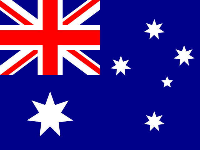 Australia7,741,220 km²
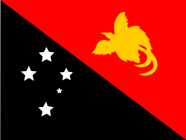 Papua New Guinea462,840 km²
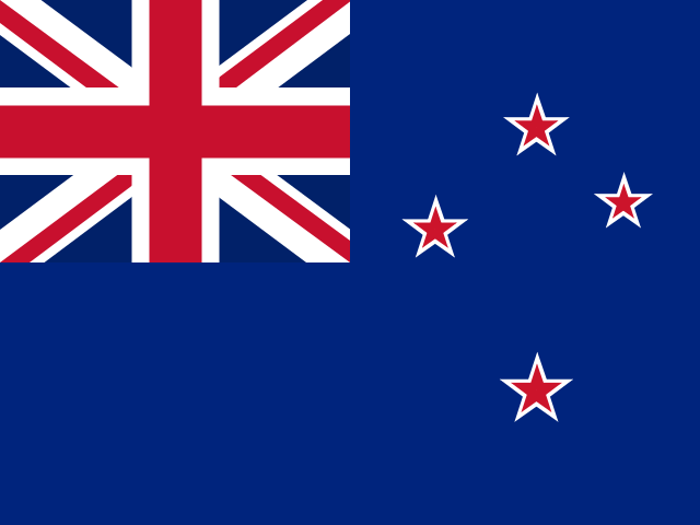 New Zealand267,710 km²
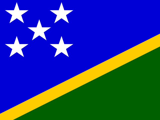 Solomon Islands28,896 km²
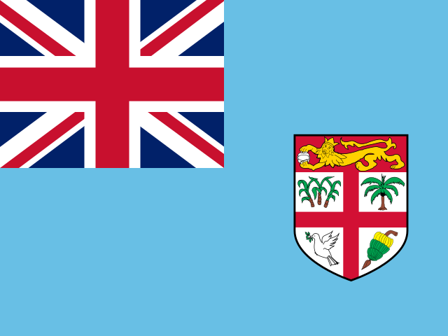 Fiji18,270 km²
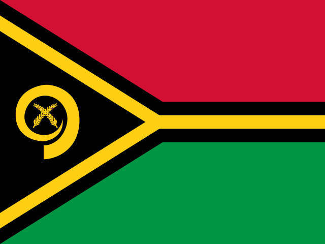 Vanuatu12,189 km²
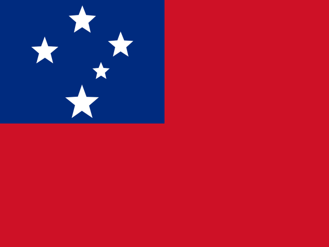 Samoa2,840 km²
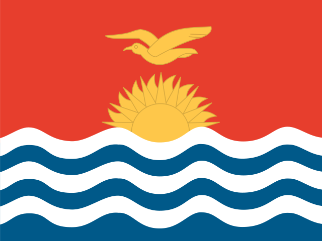 Kiribati811 km²
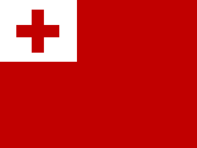 Tonga749 km²
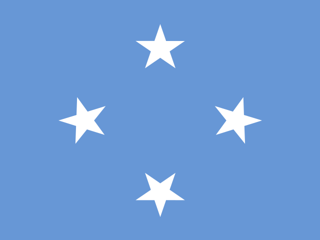 Micronesia701 km²
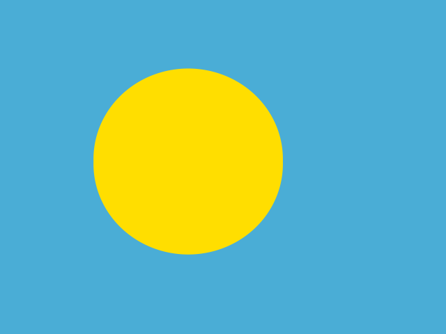 Palau459 km²
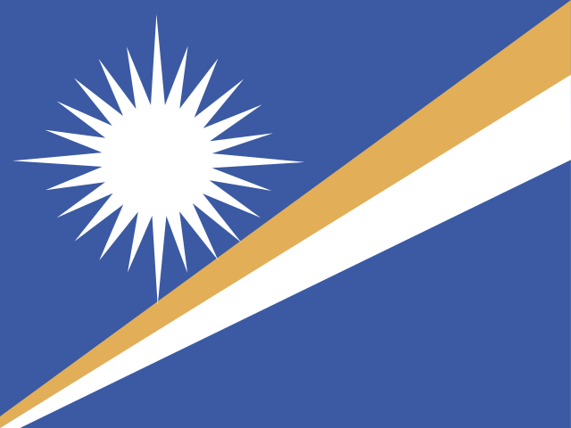 Marshall Islands181 km²
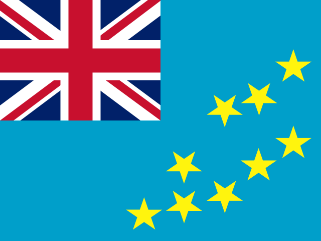 Tuvalu26 km²
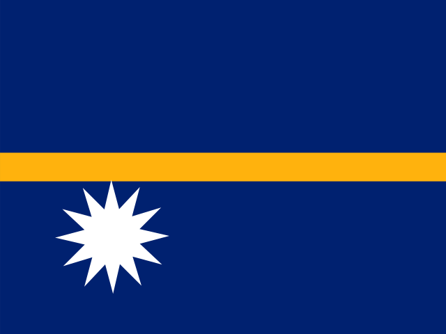 Nauru21 km²